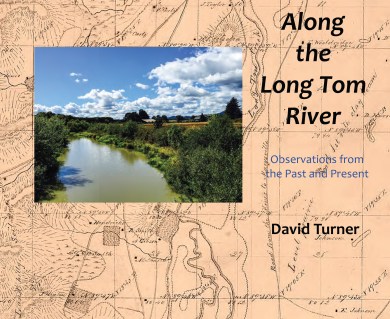
The new book, Along the Long Tom River: Observations from the Past and Present, will be introduced on Tuesday, March 28 at the Public Meeting of the Long Tom Watershed Council at the Veneta Community Center from 6 – 8 pm.
Maps
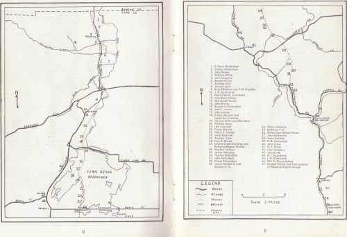
Inman Old Trail Map
from Lane County Historian, Lane County Pioneer-Historical Society, Vol. XII-Nos. 1,2; Eugene, Oregon; Spring and Summer, 1967.
This hand-drawn map is one of the best descriptions of where early settlements were along the Long Tom River.
Inman Old Trail Map (PDF file, 15.2 MB)
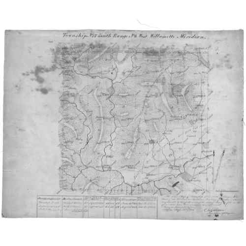
General Land Office Map, Township 17s, Range 6w, 1854.
This map shows the Long Tom “Creek” coming in from the west and the north, near its headwaters. The lower right corner (Section 36) has the Donation Land Claim of A.L. Humphrey (#44 on Inman map) on the Long Tom, approximate site of Oregon Country Fair today. Just up the road is I.N. Duckworth, first settler at site of today’s Elmira. They are not on the Old Trail, but near where Territorial was later developed.
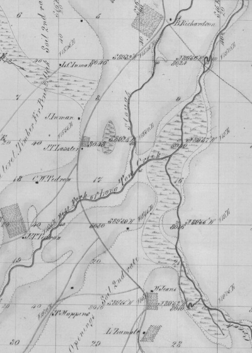
General Land Office Map, Township 17s, Range 5w, 1854 (detail)
These very meticulous maps, created in the early 1850s, were the results of a massive survey project to document the features and exact locations of the land that was to be given to homesteaders through the Donation Land Act in the Oregon Territory. This shows “West Fork Long Tom Creek” coming from J.T. Tedron’s land grant in the west and meeting the “East Fork” of the Long Tom—today’s Coyote Creek—about in the center of today’s reservoir, with lots of wetlands around. As the Inman map shows, the Indian mounds and Long Tom Crossing were also near here. Following the Old Trail from the south, we see first the Donation Land Claim of Levi and Mary Zumwalt, which is today’s Zumwalt Park, and the nearby campground. And north of this area, along the Slough, is the claim of Ben Richardson and family.
